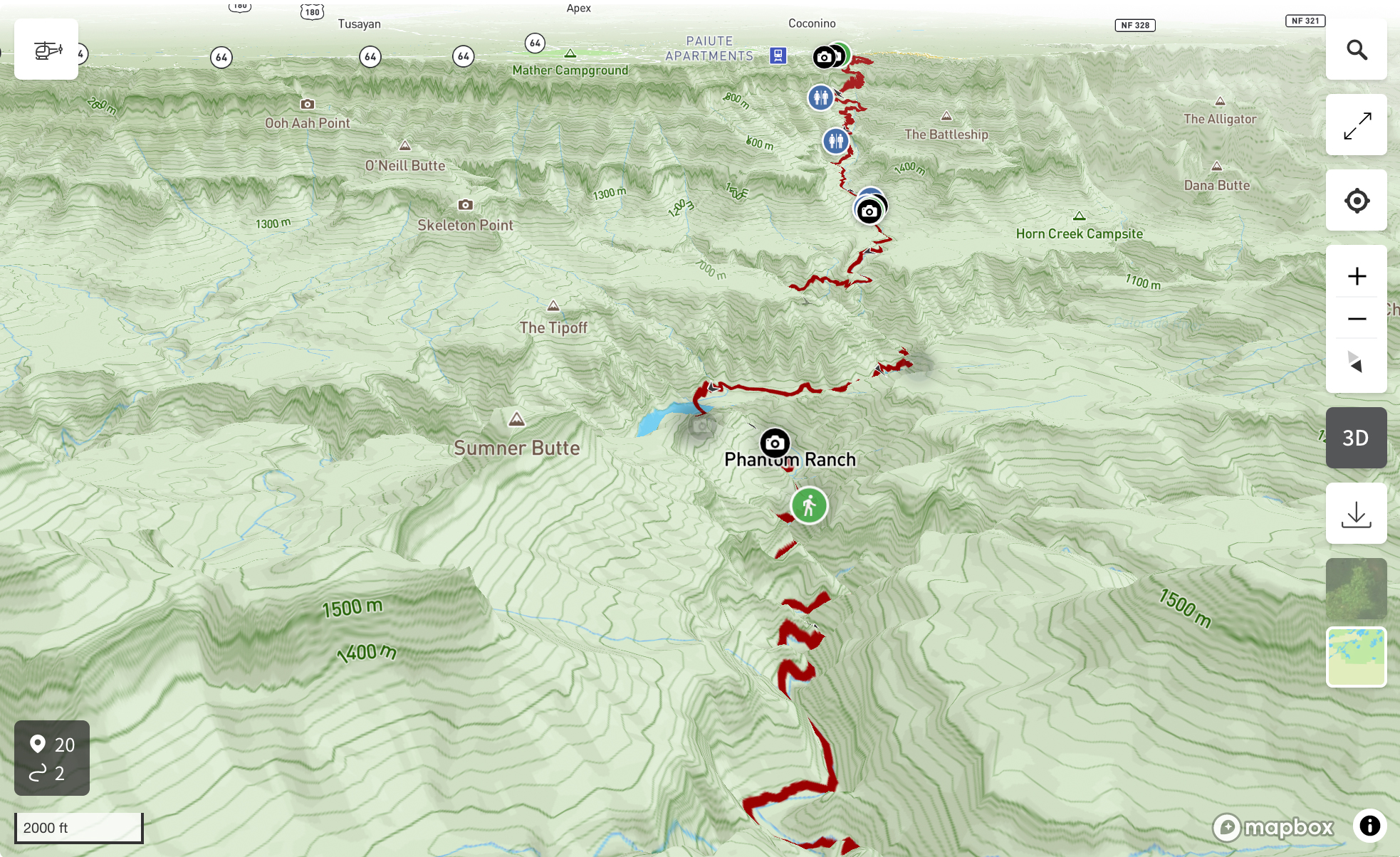
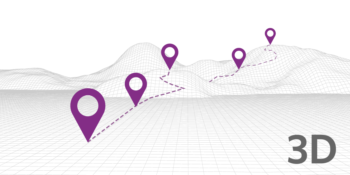
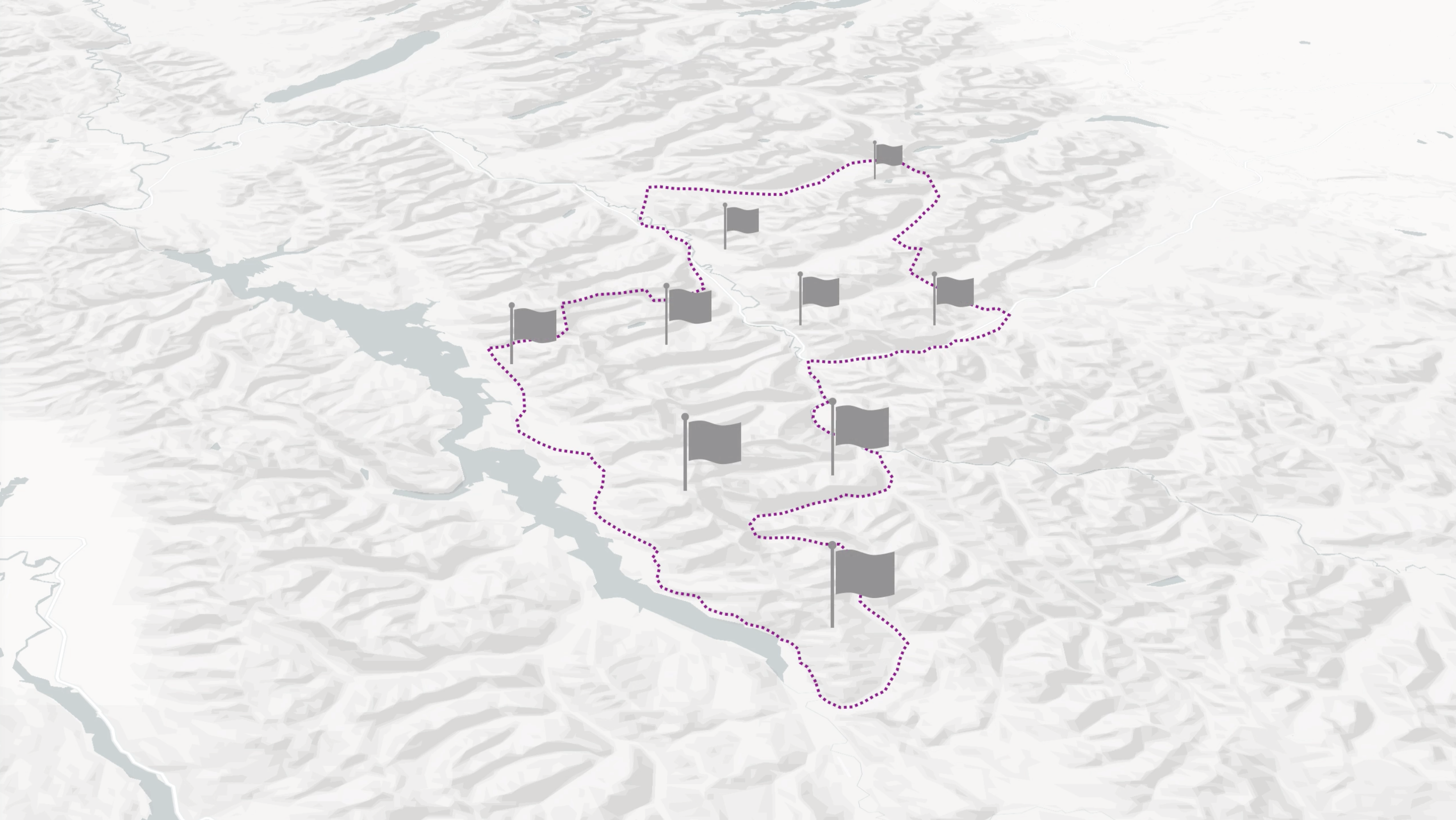
Create 3D routes, scenic drives and itineraries and embed them into your site. Get beyond the old and tired 'point-on-a-map' and instead show detailed routes and areas in 3D as well as offer a dynamic animated fly-through of any map or itinerary you create.
This six minute introduction video on the key concepts of interactive mapping will help you know what's needed for creating and deploying an interactive map. Interactive maps are becoming a critical tool for communicating and helping users navigate in the real world.
Any project that involves a relatively large amount of information has typically put some thought into how that information is organized. For example, the different ways that information is categorized or how one type of information is related to another.
Using Elebase, organizing and relating data by location is pretty easy because of the platform's built-in tools.
With Elebase, it is easy to request data based on geo parameters. This can be very useful for applications that need to deploy geo-fencing, or search for data based on geospatial attributes.
Community trail systems are an important asset to a community for the quality of life of residents, attracting visitors, and for economic development. However, if residents are not aware of where trails and parks are, these assets can fall short in delivering their benefits.
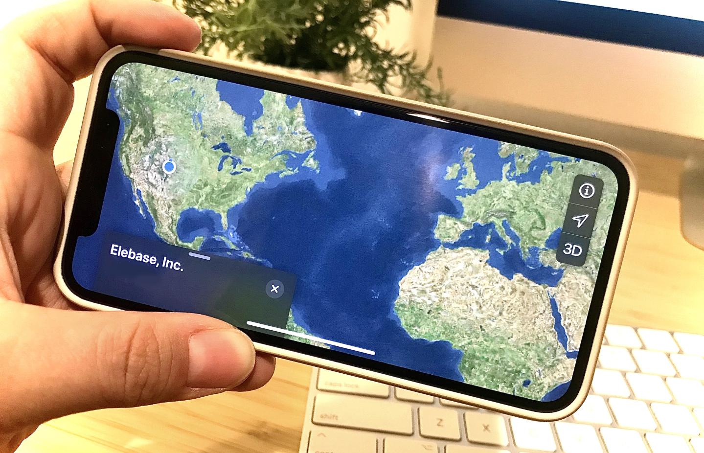
Do you ever think, "How on Earth did I get here?" I do. A lot. Sometimes it's while pondering how my curiosities in life led me to this moment in time, like now—sharing this really cool thing with you that we created, called Elebase. But most of the time I find myself asking that question because I wandered off from where I was initially going. I get lost. I get curious. I explore.