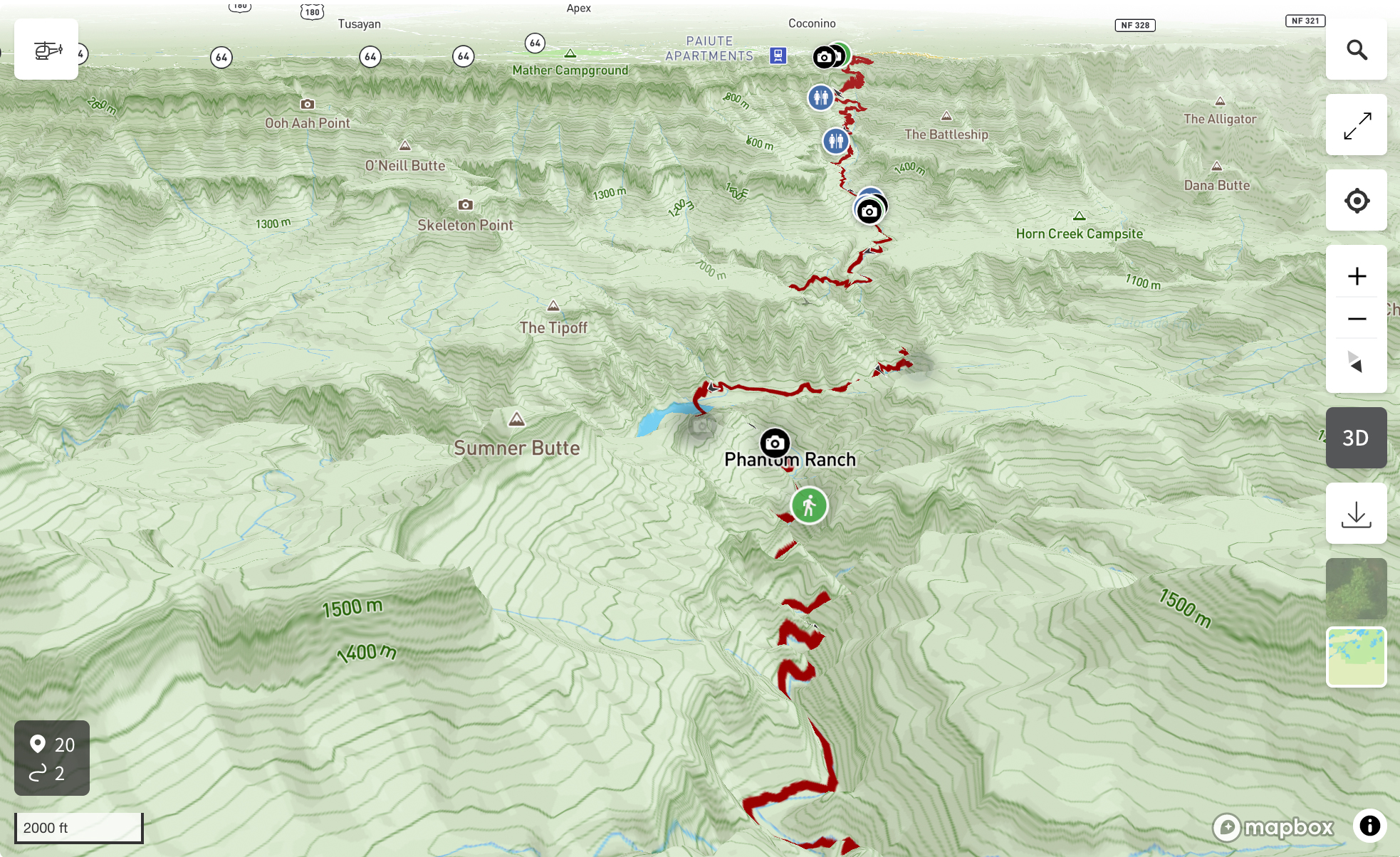
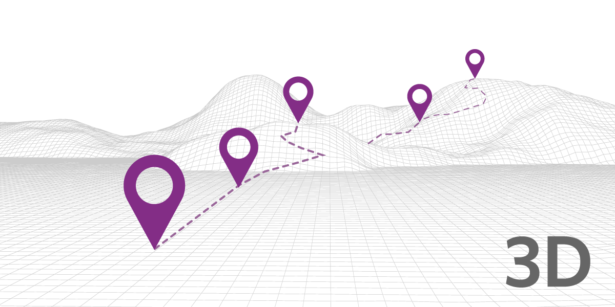
Create 3D routes, scenic drives and itineraries and embed them into your site. Get beyond the old and tired 'point-on-a-map' and instead show detailed routes and areas in 3D as well as offer a dynamic animated fly-through of any map or itinerary you create.
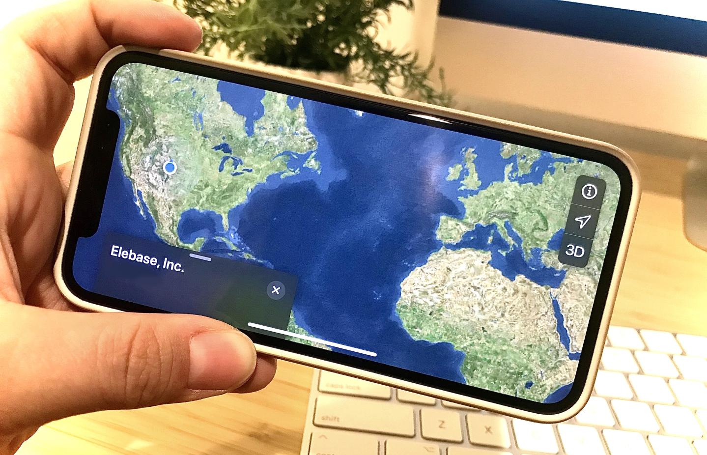
An update to Elebase geo capabilities now allows users to upload, create, and manage geospatial information using a third dimension: altitude.
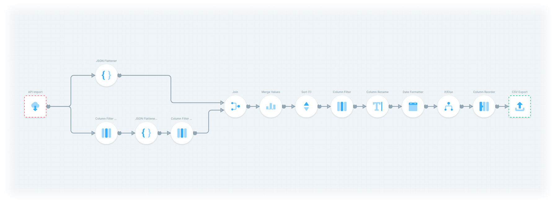
Create streamlined and automated data processes using Elebase together with Parabola.
Elebase has recently implemented a second authentication method, making it easier to connect your Elebase data with third-party tools. That means you can put your data to work in many different ways, using many different tools, often without having to write code.
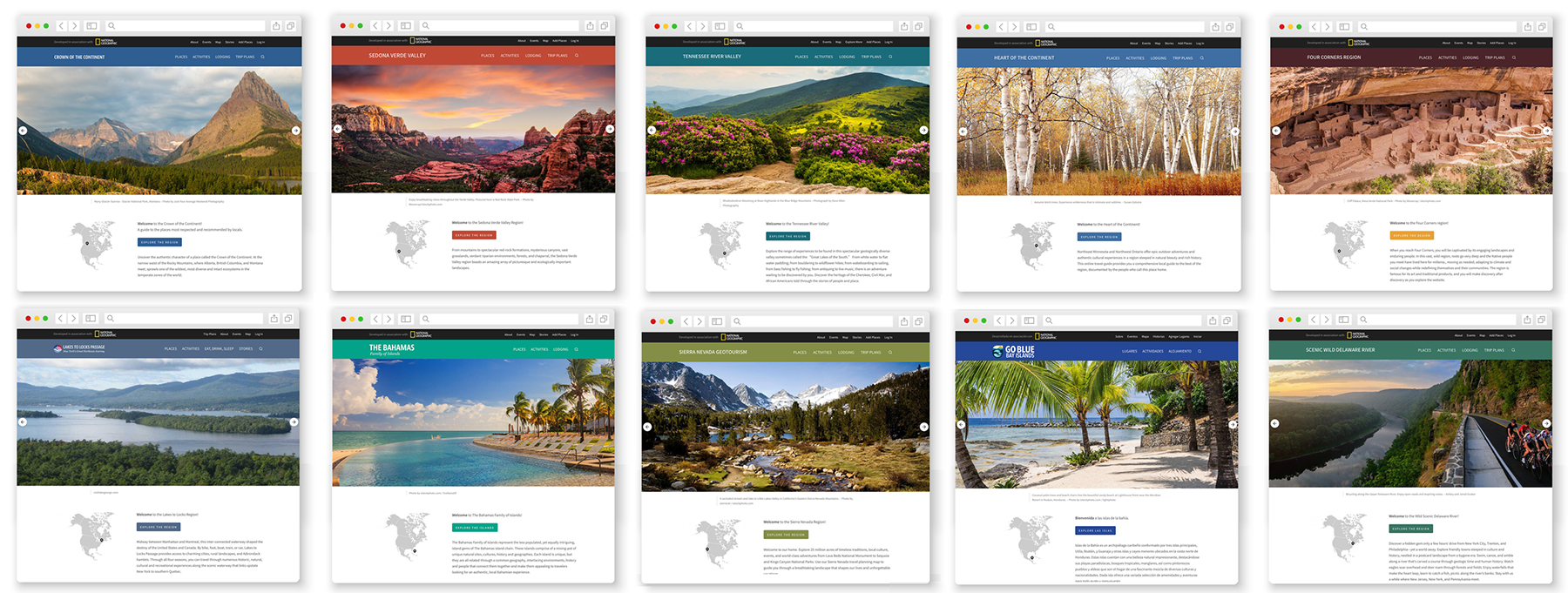
These travel guides, developed in association with National Geographic, and powered by Elebase, let you explore the places that locals most respect and recommend. Imagine traveling through the Sierra Nevada, the Four Corners, the Bahamas, or upstate New York fully informed with the best suggestions of locals who know the place best.
The Elebase API delivers your responses with an ultra-fast global Content Delivery Network. That means that when a user requests data or files for your application, the data or files are served automatically from a CDN node nearest to, and most efficient, for the user.
Read MoreDo you ever think, "How on Earth did I get here?" I do. A lot. Sometimes it's while pondering how my curiosities in life led me to this moment in time, like now—sharing this really cool thing with you that we created, called Elebase. But most of the time I find myself asking that question because I wandered off from where I was initially going. I get lost. I get curious. I explore.